
This moderately difficult hike is 4.6 miles round-trip or 5.1 miles on to LeConte Lodge. The round-trip to the cave bluff takes about 2 and 1/2 hours, but allow about 3 and 1/2 hours to LeConte Lodge. The Alum Cave Trail is the most popular and well-known route to Mount Le Conte.
Directions to Trailhead:
Sugarlands Visitor Center, drive 8.6 miles east on Newfound Gap Road. There are two parking areas, follow the gravel path to The Grassy Patch and the beginning of a 2.3 mile hike up to Alum Cave Bluff. Please call and check with the Park Rangers about weather and trail conditions before starting out.
Summary
This moderately difficult hike is 4.6 miles round-trip or 5.1 miles on to LeConte Lodge. The round-trip to the cave bluff takes about 2 and 1/2 hours, but allow about 3 and 1/2 hours to LeConte Lodge. The Alum Cave Trail is the most popular and well-known route to Mount Le Conte.
Elevation:
You gain 2600 feet on the way to 6400 feet. This is the kind of trail that you will want to make plans before starting. Bring adequate supply of water, clothing and proper hiking shoes.
Trail Features
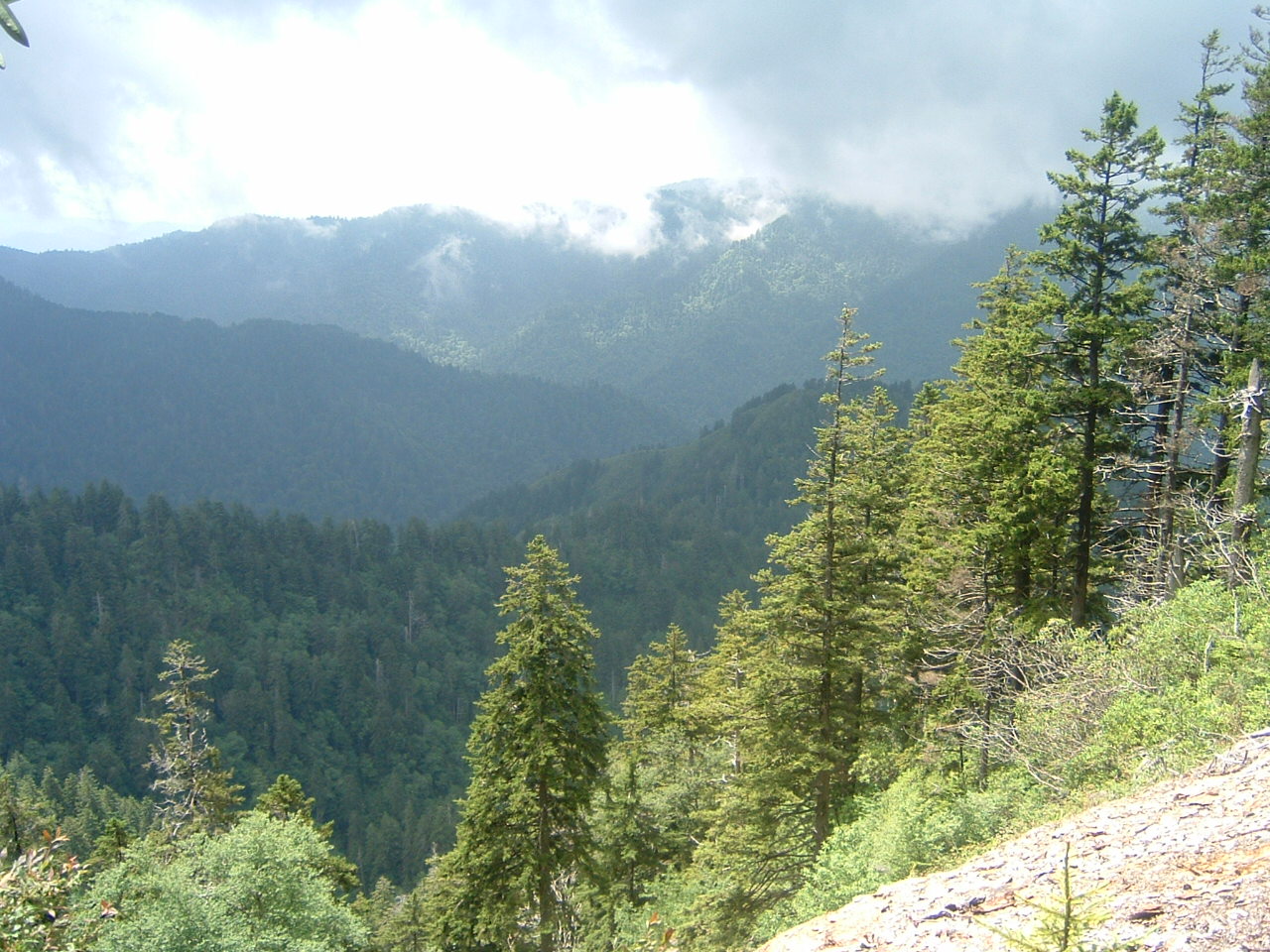
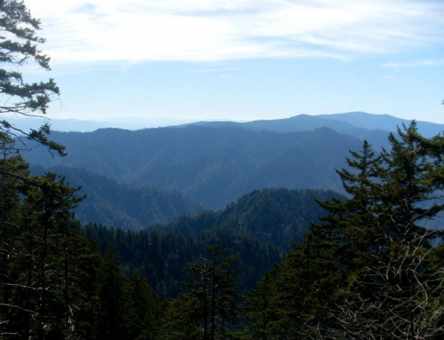
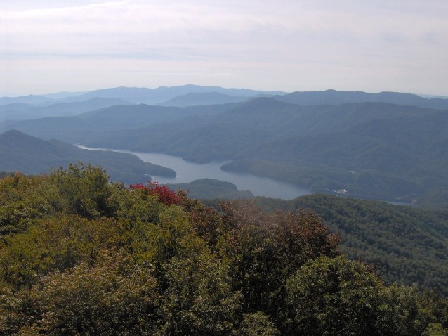
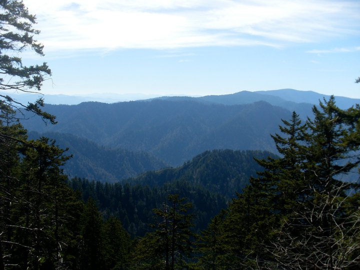
Arch Rock, 1993 storm damage, Inspiration Point and Alum Cave Bluff are along this 4.6 mile (round-trip) hike. The views are very good!
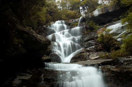
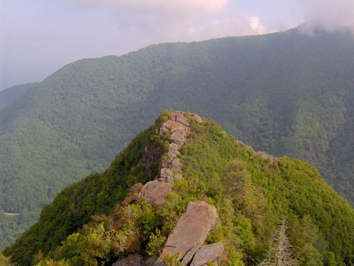
You’ll begin this hike at the Grassy Patch just off the parking area. Shortly after entering the forest the path will parallel the Alum Cave Creek for approximately a mile. It then follows the Styx Branch which is a main tributary of Alum Cave Creek. About a quarter of mile beyond this point, you’ll see the remains of a 1993 flash flood and landslide. A heavy rain storm dumped several inches of rain, with a force so great that huge boulders were exposed and tossed–its devastation is clear and will remain so for years. At mile 1.5 you come to Arch Rock. A set of stone stairs aids your passage through one of the few natural arches inside the park. At the 1.8 mile mark is Inspiration Point. This point is the first panoramic view of the area. At mile 2.3 you will arrive at Alum Cave Bluff. Alum Cave is not a cave, but rather a jutting ledge of black slate that extends out over the trail to give the impression of a cave. The name Alum Cave comes from the deposits of alum found along the “cave” walls.
“By No machine readable author for image provided. Blinutne assumed (based on copyright claims).
