
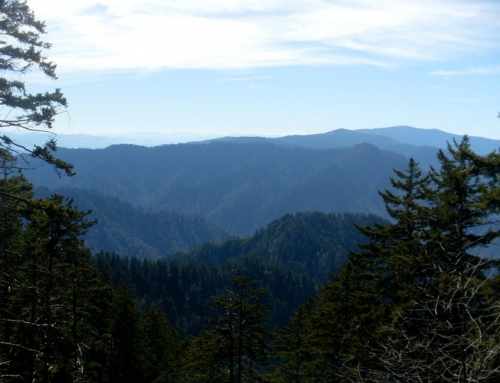
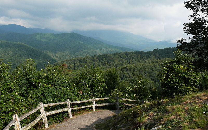
Old Settlers Trail is set apart by its numerous historical landmarks. The trail travels along for over 15 miles through much of what was original settlers homesites. You will pass a great number of rivers and streams. And in doing so come across remnants of the settlers dwellings and lives.
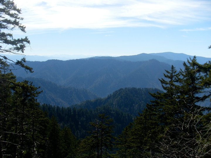
Trail Elevation
The trail ascends over 1200 feet to a height of 2900 feet above sea level. Please check with Park Rangers for weather and trail conditions before starting out a hike.
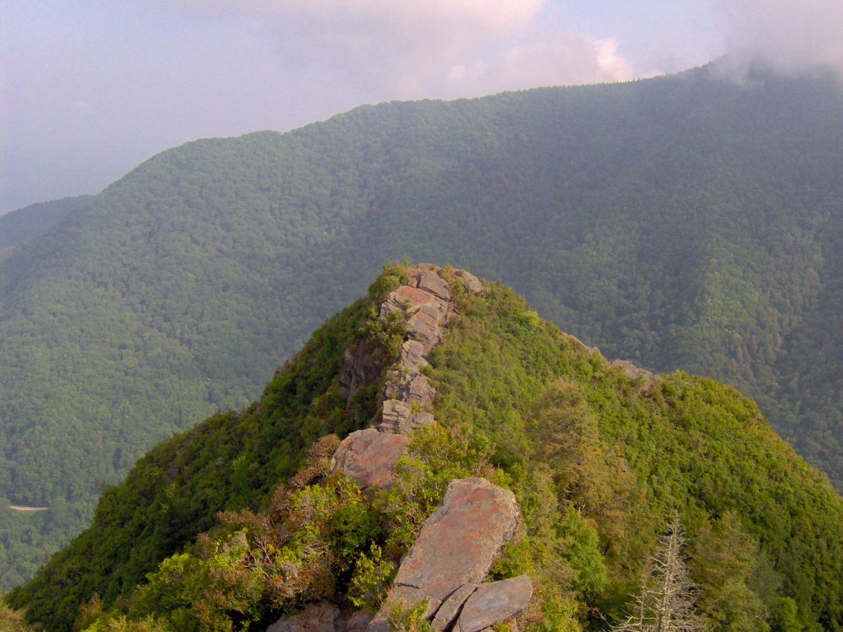
Old Settlers Trailhead
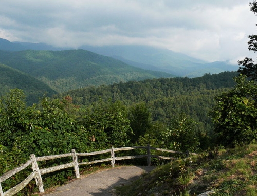
It is an easy hike than many other trails with three access points. The Greenbrier area is about 4 miles from Gatlinburg. The Albright Grove trail, which is about 2.3 miles west of Cosby, Tennessee, on state road 321. The third entrance is near Steiner Bell Lodge parking lot, which is 13 miles from Cosby. About 1/2 of mile up the drive to the lodge, on the left side of the road the trail begins. It descends about 1/2 mile down to a marshy area where there is a post-marker. An old cemetery exists beyond the field to the right, up on a hill. But, the trail to OST goes left and leads to another post-marker and Old Settlers Trail This Park entrance is about 4 miles east of Gatlinburg, Tennessee.
Summary
Old Settle trail is a hike through the parks area history. A seldom traveled trail, it is a good place to hike if you’d like to get away from the crowds on a moderate hike.
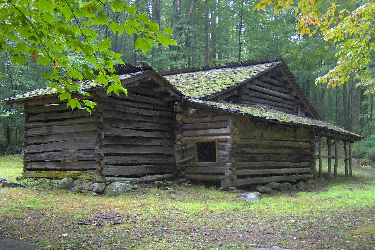
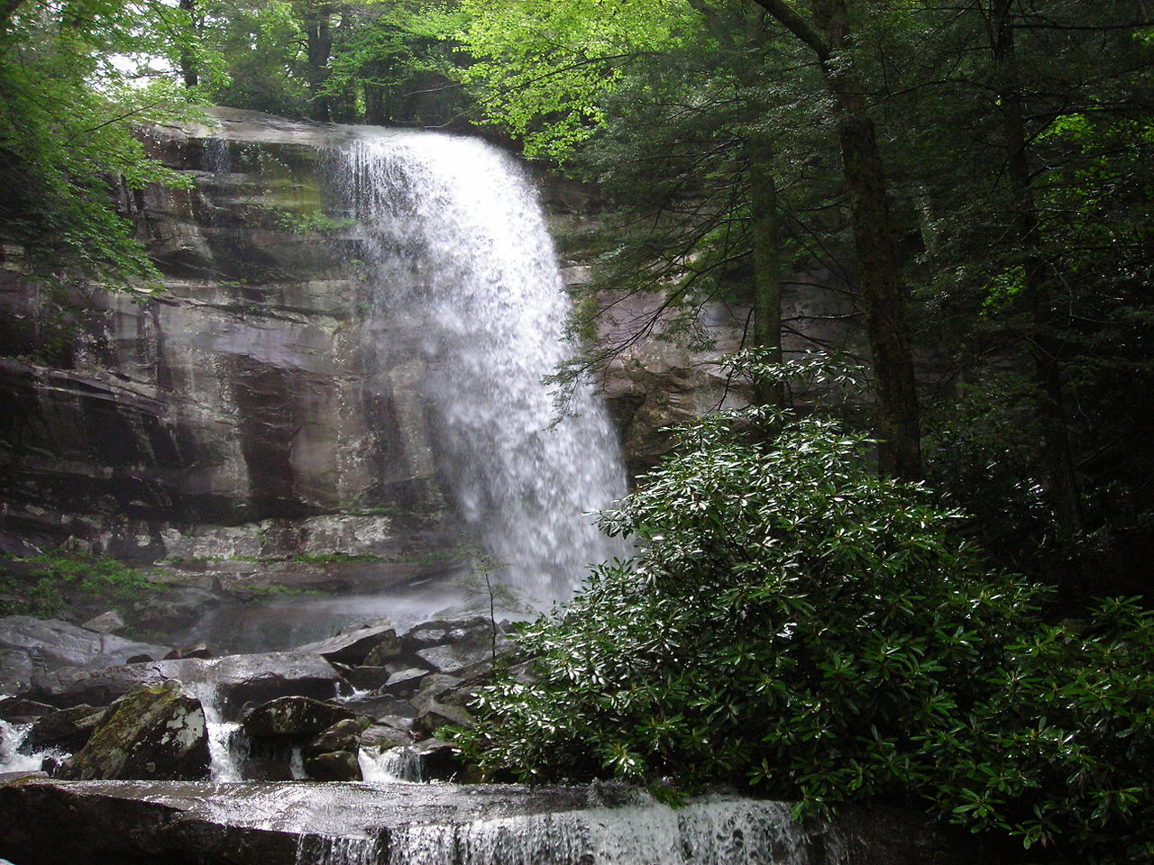
Cover Image: By Brian Stansberry (Own work) [CC BY 3.0 (http://creativecommons.org/licenses/by/3.0)], via Wikimedia Commons
