
The trail to Chimney Tops is only 2 miles in length but requires a good deal of strength and caution. The excellent views from the trail, abundant wildflowers and streams have many feeling a hike up “the chimneys” is well worth the effort and the risk.
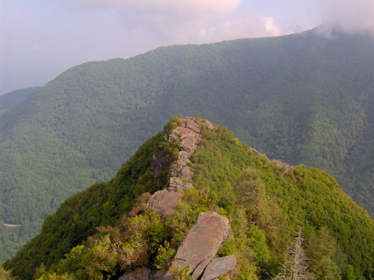
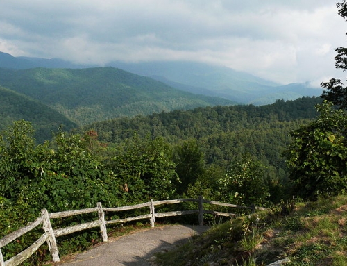
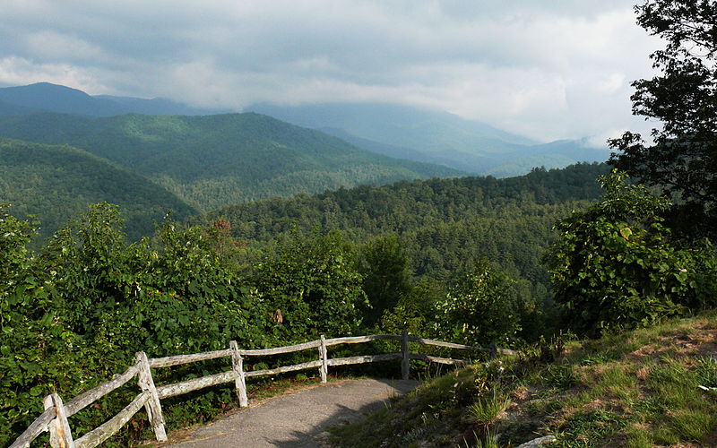
The actual trail to Chimney Tops is only a little more than one mile in length (two miles including the trail you take to reach the Chimney Tops Trail) but requires a good deal of strength and caution. The excellent views from the trail, (see photo below) abundant wildflowers and streams have many feeling a hike up “the chimneys” is well worth the effort and the risk. But it is not for the faint of heart, you must be in good shape to make this hike. Chimney Tops trail is one of the Great Smoky Mountain National Park’s most popular trails.
Trailhead:
From Wears Valley, Tn take Lyons Springs road into the national park. Turn left on route 73 once you cross the one lane brige and head toward Gatlinburg. When you reach the Sugarlands Visitor Center, turn to the right and go 6.7 miles to the parking lot at the Chimney Tops trailhead. The parking lot and trailhead are located between the lower tunnel and “the loop” on Newfound Gap road.
Elevation:
On the two mile hike, you will ascend 1,300 feet from the trailhead to the highest point of Chimney Tops trail reaches a height of 4,840 feet. Very Steep! Be in good shape to attempt the hike and remember to bring water to stay hydrated!
Overview:
The Chimney Tops Trail begins along the rock wall next to the parking lot area. And descends to a bridge across the Walker Camp Prong of the Little Pigeon River. The trail will cross several bridges along the one mile hike to Beech Flats. The half way mark of the trail is at Beech Flats.
The upper end of Chimney Tops trail is not the graded trail that it was in the beginning. But the extra effort from this part of the trail is rewarded with views that are astounding! The upper end of the trail narrows to a smaller trail called a manway. At its steepest point, the manway becomes an arduous climb, especially if late season ice has formed on the trail. The hiker should be for warned the terrain can be rugged in places.
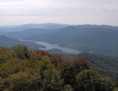
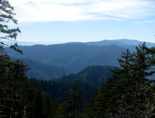
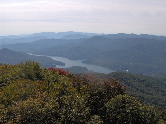
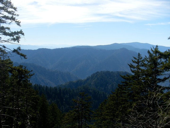
Two miles into the hike, you will be able to see the chimneys themselves. Care should be taken as you follow the path to the right that leads to the top, there is a hole large enough to fall into! From here you can see Mount Le Conte to the east. Beautiful Mountain views to the south and Sugarland Mountain is off to the west.
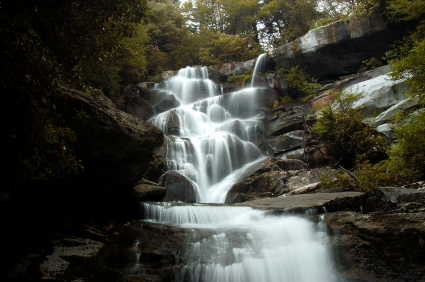
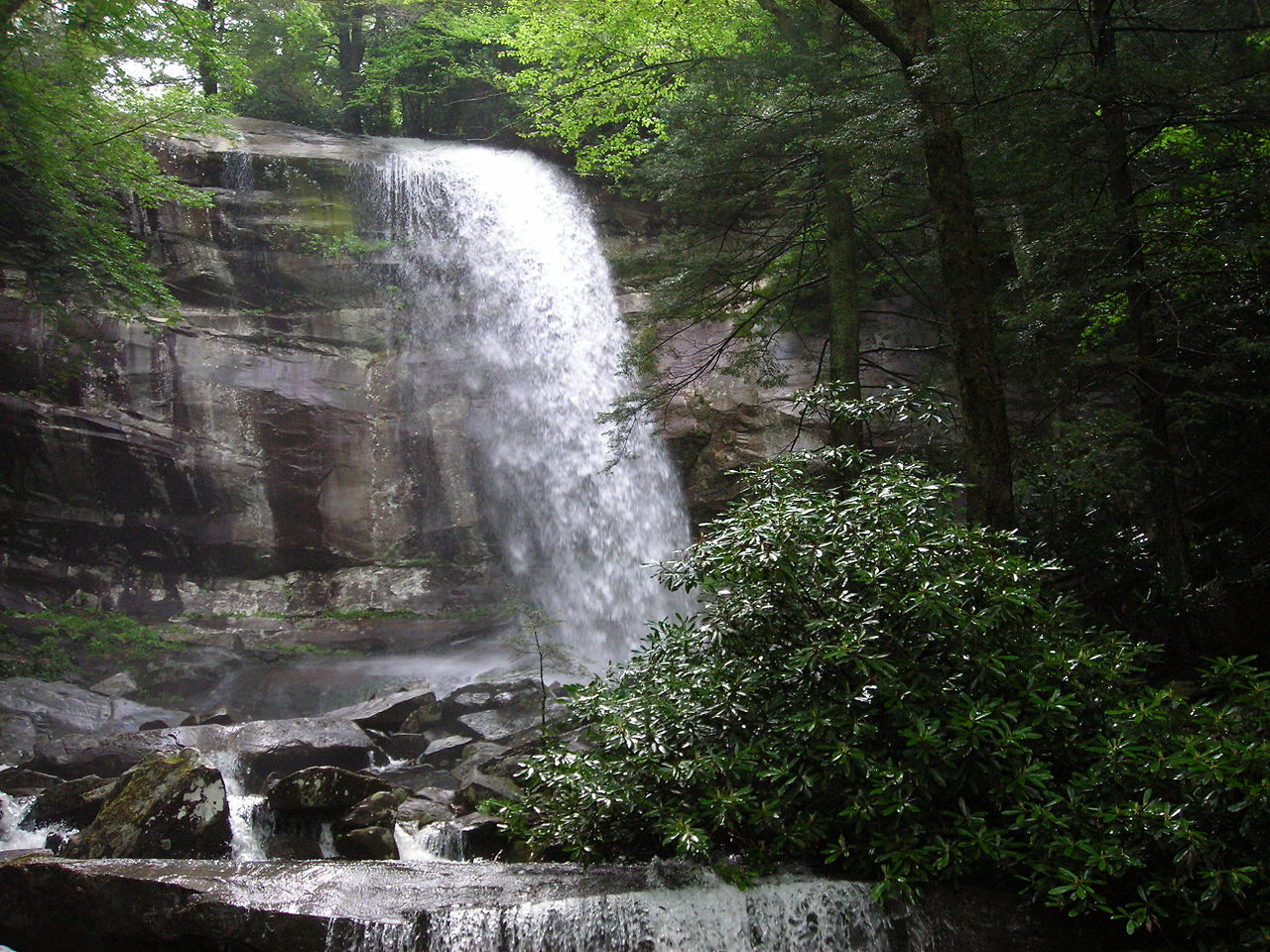
Rhododendron is abundant in the Great Smoky Mountains National Park and along Chimney Tops trail is no exception. Also common are a variety of wildflowers. In Spring, you can find Trillium and Hepatica. Violets, Toothworts, and Foamflowers are some more of the flora that you will find along the trail A trek up the Chimney Tops will have you understanding why it is such a popular trail.
Once again, it can not be over stressed that this is a steep and rugged trail. If you are capable of hiking the trail, it can be very rewarding. If you however are not a seasoned hiker, this can turn into a disaster. So please, if your not a seasoned hiker or if this is your first hike, find one of the easier trails to attempt before trying to hike this.
Cover Image: Brian Stansberry [GFDL (http://www.gnu.org/copyleft/fdl.html), CC-BY-SA-3.0 (http://creativecommons.org/licenses/by-sa/3.0/) or CC BY 2.5 (http://creativecommons.org/licenses/by/2.5)], via Wikimedia Commons