
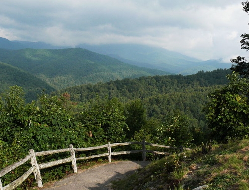
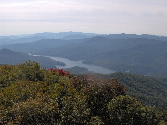
LeConte’s location in the Great Smoky Mountains National Park has spurred the creation of 5 trails that lead to the LeConte Lodge. In addition to these there are spur trails that lead to each of the individual peaks. There are scenic overlooks and peaceful woodlands settings and every trail offers its own unique sights along the way to the location of the lodge.
Trails to Mount Le Conte Lodge
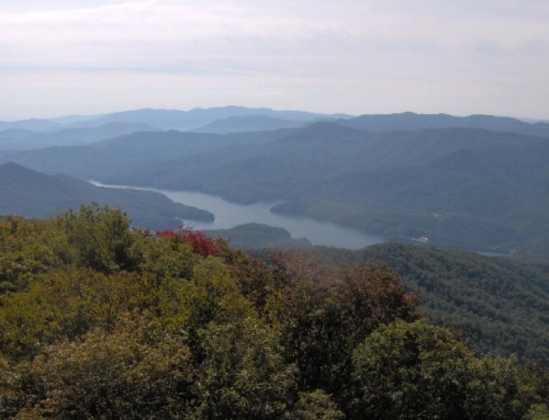
The combined traffic of these 5 trails makes Mount Le Conte one of the most heavily hiked mountains in the park. The Alum Cave and Rainbow Falls trails in particular tend to become crowded with visitors seeking beautiful scenery just a couple of miles into the trails.
The Boulevard Trail — is 5.4 miles in length and 8.0 miles from Newfound Gap. It begins on the crest of one of the Mountains 2.7 miles east of Newfound Gap on the Appalachian Trail. Bring your oxygen along, this trail never dips below 5,500 ft.
Bullhead Trail — is 6.9 miles in length. It is also the least traveled trail that makes it’s way up to Mont Le Conte Lodge. You will find this trail offers the most solitude and peace of all the five trails.
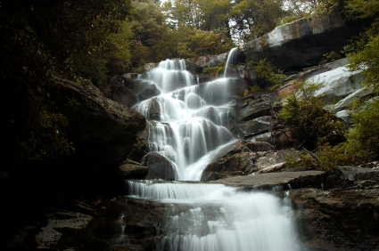
Trillium Gap Trail — 8.9 miles; The trail passes behind or “through” the Grotto Falls! Trillium Gap offers spring wildflowers and a short spur hike up to Brushy Mountain. It also offers the only horse trail on the mountain! The llama trains that supply the lodge use this trail as well. Starting the Trillium Gap Trail at the Trillium Gap parking lot shortens the climb by 2.4 miles making this a 6.5 mile trail.
Alum Cave Bluff Trail: — 4.9 miles up past Alum Cave Creek, Arch Rock, Alum Cave Bluff and views into Huggins Hell decorate the trail; it is a very scenic and probably the most frequently used trail of the five.
Sugarlands Visitor Center, drive 8.6 miles east on Newfound Gap Road. There are two parking areas, follow the gravel path to The Grassy Patch and the beginning of a 2.3 mile hike up to Alum Cave Bluff. Please call and check with the Park Rangers about weather and trail conditions before starting out.
This moderately difficult hike is 4.6 miles round-trip or 5.1 miles on to LeConte Lodge. The round-trip to the cave bluff takes about 2 and 1/2 hours, but allow about 3 and 1/2 hours to LeConte Lodge. The Alum Cave Trail is the most popular and well-known route to Mount Le Conte.
You gain 2600 feet on the way to 6400 feet. This is the kind of trail that you will want to make plans before starting. Bring adequate supply of water, clothing and proper hiking shoes.
Arch Rock, 1993 storm damage, Inspiration Point and Alum Cave Bluff are along this 4.6 mile (round-trip) hike. The views are very good!
You’ll begin this hike at the Grassy Patch just off the parking area. Shortly after entering the forest the path will parallel the Alum Cave Creek for approximately a mile. It then follows the Styx Branch which is a main tributary of Alum Cave Creek. About a quarter of mile beyond this point, you’ll see the remains of a 1993 flash flood and landslide. A heavy rain storm dumped several inches of rain, with a force so great that huge boulders were exposed and tossed–its devastation is clear and will remain so for years. At mile 1.5 you come to Arch Rock. A set of stone stairs aids your passage through one of the few natural arches inside the park. At the 1.8 mile mark is Inspiration Point. This point is the first panoramic view of the area. At mile 2.3 you will arrive at Alum Cave Bluff. Alum Cave is not a cave, but rather a jutting ledge of black slate that extends out over the trail to give the impression of a cave. The name Alum Cave comes from the deposits of alum found along the “cave” walls.
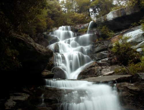
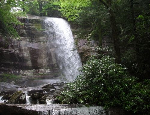
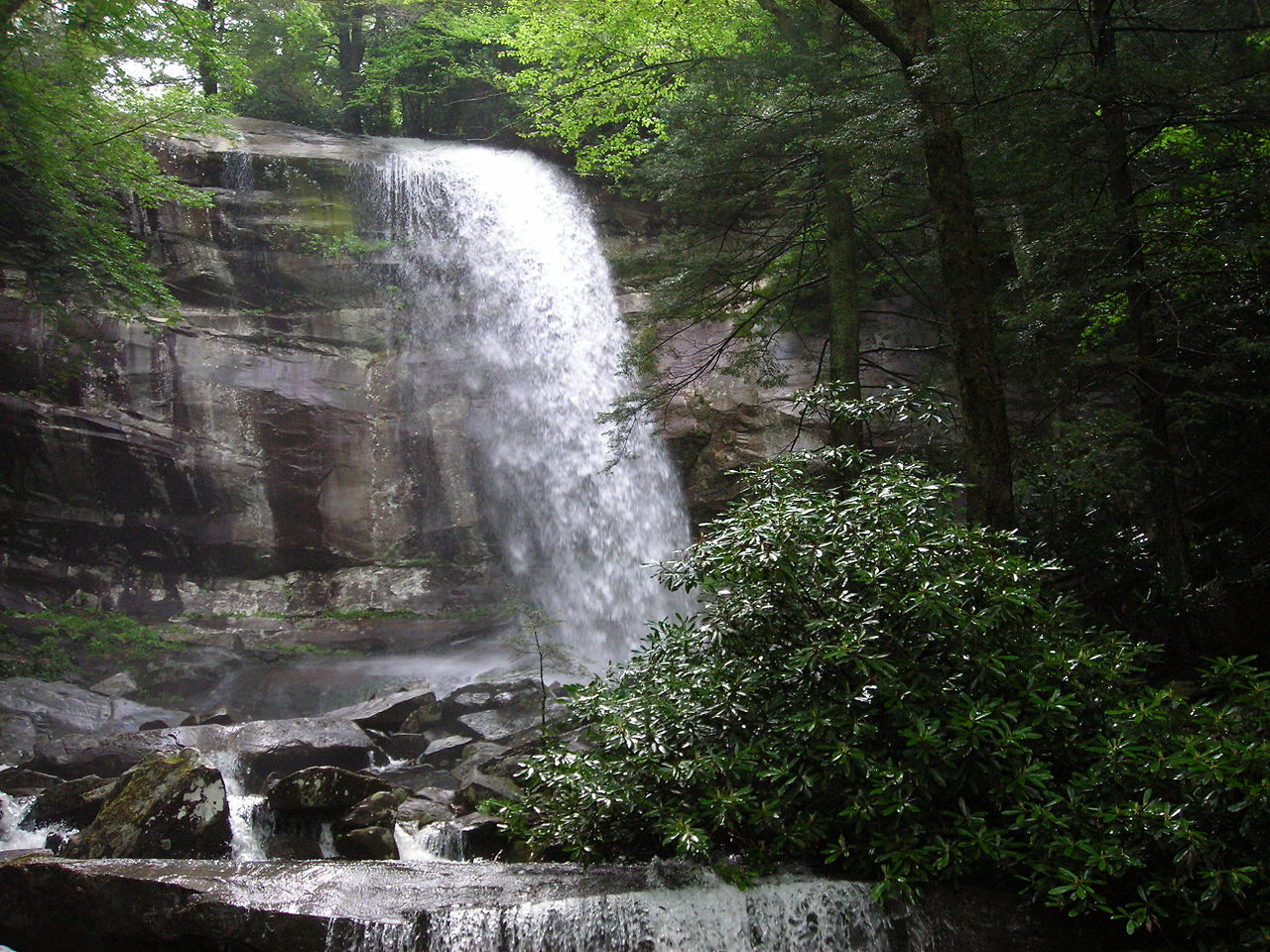
Rainbow Falls Trail — is 6.6 miles in length. LeConte Creek runs alongside the trail until you come to Rainbow Falls. Rainbow falls has the highest drop of water in the Great Smoky Mountains National Park. Read more on Rainbow Falls Trail…
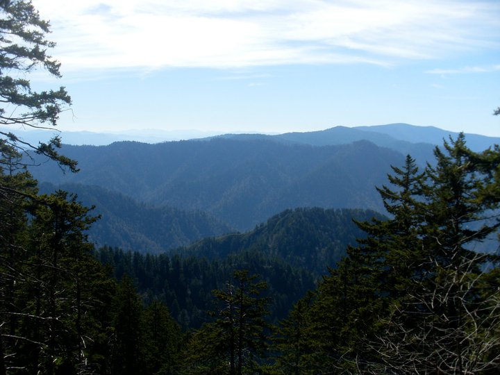
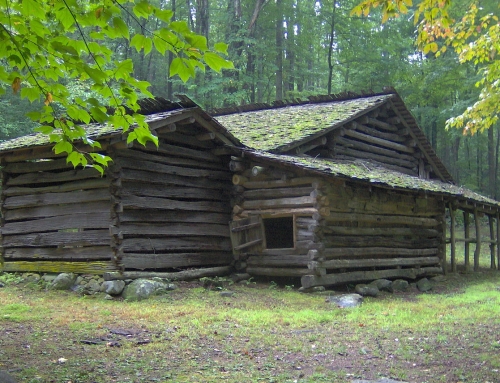
Main image: By Corwil (Own work)
