
A moderately challenging 7.4 mile (round-trip) hike. Travels through old growth forest, picturesque streams and falls, and the remains of early settler’s homesites. Plan on roughly three hours, depending on your skill level.
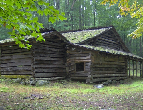
The Boogerman Trail is a seven mile loop trail on the North Carolina side of the Smokies that is named after the man who had his homestead near the trail. The foundations and what not’s of this homestead can still be found along the trail just before you reach the halfway point.
Setting:
A moderately challenging 7.4 mile (round-trip) hike. Travels through old growth forest, picturesque streams and falls, and the remains of early settler’s homesites. Plan on roughly three hours, depending on your skill level. The trail head is in the Cataloochee section on the North Carolina side of the Mountains, which is a little more difficult to get to but well worth the trip!
If you decide to hike this trail it is best to plan for a complete day. The road up to the trailhead will take some time to reach. Plan on spending quite a bit of time in the car if driving over from the Tennessee side of the mountains. But if you enjoy hiking, this trail is well worth the effort! Huge tree’s, streams and waterfalls make it a great trail to hike!
Elevation:
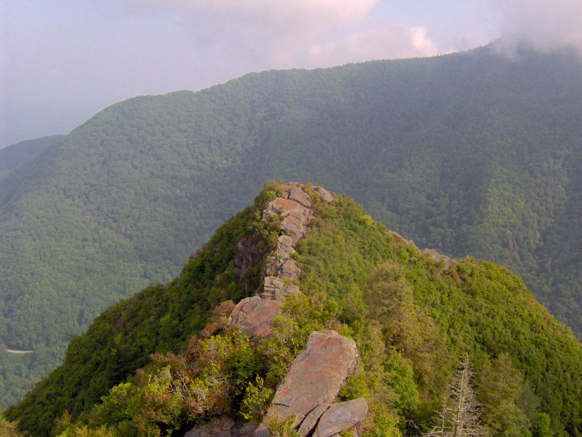
Climb of approximately 800 ft. to an altitude of 3,600 ft.
Point of Departure:
Go west on route 276. Turn right on to Cove Creek road and then take a left on to the Cataloochee Road. About halfway up you will see athe signs to the Caldwell Fork Trail. Start your like on the Caldwell Fork Trail and soon you will see where the Boogerman Trail branches off.
Over View of the Trail:
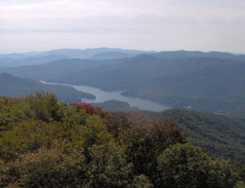
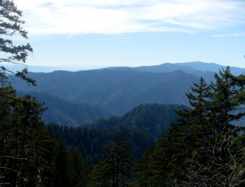
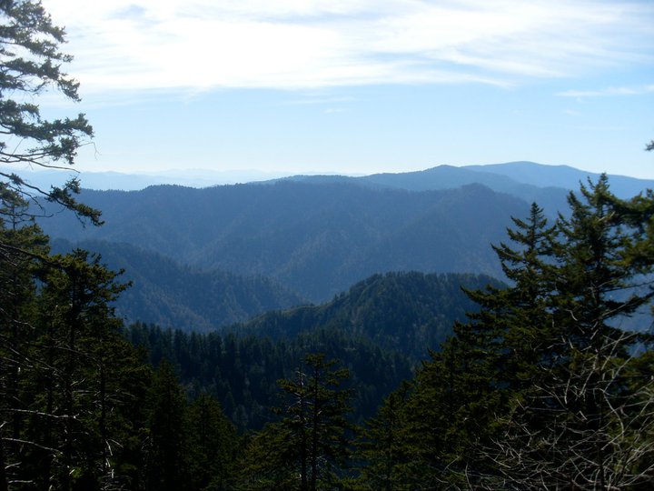
The Boogerman Trail Hike is a great place to get away from the congestion and traffic of the tourists that crowd all of the Smokies in the summer months. Quiet, Peaceful and serene describe the hike on Boogerman Trail! Really a great day trip away!
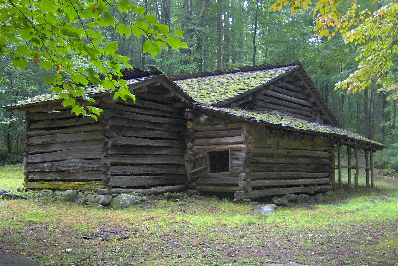
From the trail head on Caldwell Fork Trail. Cross Cataloochee Creek on a footbridge When the trail splits stay to the right and climb a narrow edge along Caldwell Fork. You’ll cross Caldwell Fork on a footbridge and enter an area of old-growth trees that were spared in early times logging operations. At mile 2.8, you will encounter the Palmer Boogerman’s homesite for whom the trail is named.
At mile 3.8, the trail turns down to the right and around a rock wall. From here you cross a small stream and enter some clearings, old fence posts and artifacts which indicate where an old homestead previously existed.
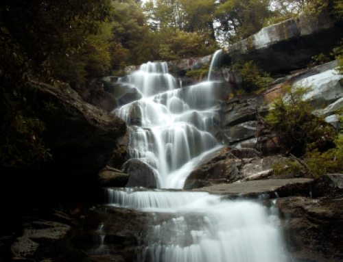
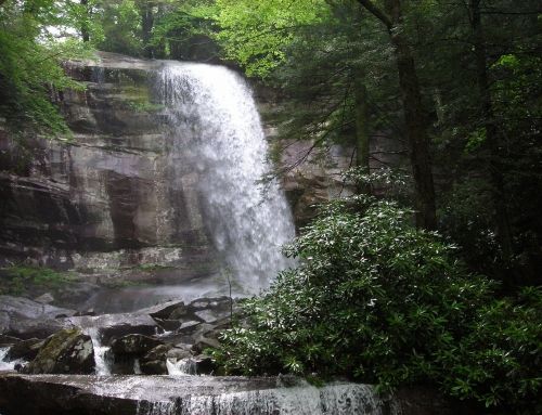
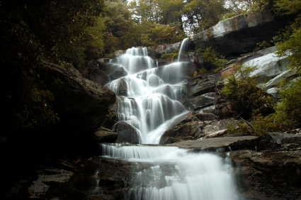
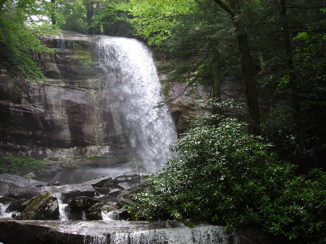
At about the 5 mile marker you will once again cross Snake Branch, and as you enter an area of towering hemlocks you cross the Caldwell Fork several times using log footbridges. The stream offers up picturesque views and several waterfalls.
The trail is well maintained and this hike offers up views of some of the largest trees in the area, old homesites and mountain streams.
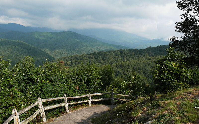
Cover Image: By Ken Thomas (KenThomas.us (personal website of photographer))
